Please use this identifier to cite or link to this item:
https://ipweaq.intersearch.com.au/ipweaqjspui/handle/1/8266

Full metadata record
| DC Field | Value | Language |
|---|---|---|
| dc.contributor.author | Lin, Carrie | - |
| dc.contributor.author | Kershaw, Bret | - |
| dc.date.accessioned | 2024-05-13T23:04:20Z | - |
| dc.date.available | 2024-05-13T23:04:20Z | - |
| dc.date.copyright | 2024 | en_US |
| dc.date.issued | 2024 | - |
| dc.identifier.uri | https://ipweaq.intersearch.com.au/ipweaqjspui/handle/1/8266 | - |
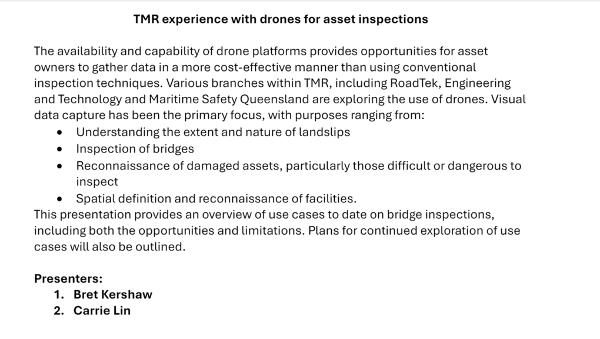
| dc.description.abstract | The availability and capability of drone platforms provides opportunities for asset owners to gather data in a more cost-effective manner than using conventional inspection techniques. Various branches within TMR, including RoadTek, Engineering and Technology and Maritime Safety Queensland are exploring the use of drones. Visual data capture has been the primary focus, with purposes ranging from: • Understanding the extent and nature of landslips • Inspection of bridges • Reconnaissance of damaged assets, particularly those difficult or dangerous to inspect • Spatial definition and reconnaissance of facilities. This presentation provides an overview of use cases to date on bridge inspections, including both the opportunities and limitations. Plans for continued exploration of use cases will also be outlined. | en_US |
| dc.publisher | Institute of Public Works Engineering Australasia Queensland & Northern Territory | en_US |
| dc.subject | Drone use for Asset Inspection | en_US |
| dc.title | Trial use of drones by TMR for Asset Inspections | en_US |
| dc.type | Audio Visual Recording | en_US |
| Appears in Collections: | AMS 2024 Presentations | |
Files in This Item:
| File | Description | Size | Format | |
|---|---|---|---|---|
| Carrie Lin and Bret Kershaw.mp4 | 916.25 MB | Unknown | View/Open | |
| TMR Drong pres AMS.png | 223.79 kB | image/png |  View/Open |
Items in the Knowledge Centre are protected by copyright, with all rights reserved, unless otherwise indicated.
